Motus Receiver Station at the Cowichan Estuary
Radio-tracking shorebirds
Last year CERCA entered into a cooperation agreement with the Canadian Wildlife Service (CWS) to become inter alia a cooperator of the so called "Motus Wildlife Tracking System", defined as a collaborative research network to enhance the understanding of wildlife movement. Part of our agreement is for CERCA to identify a strategic location at the edge of the Cowichan Estuary for the establishment of a "Motus Base Station" (directional antenna), allowing the monitoring of radio-tagged shorebirds during their seasonal migration. The target species of special interest to this collaborative effort is the Western Sandpiper using the inter-tidal flats as staging area where it is stocking up on fatty acids produced by the biofilm (mostly mono-cellular algae) covering the estuarine mudflats.
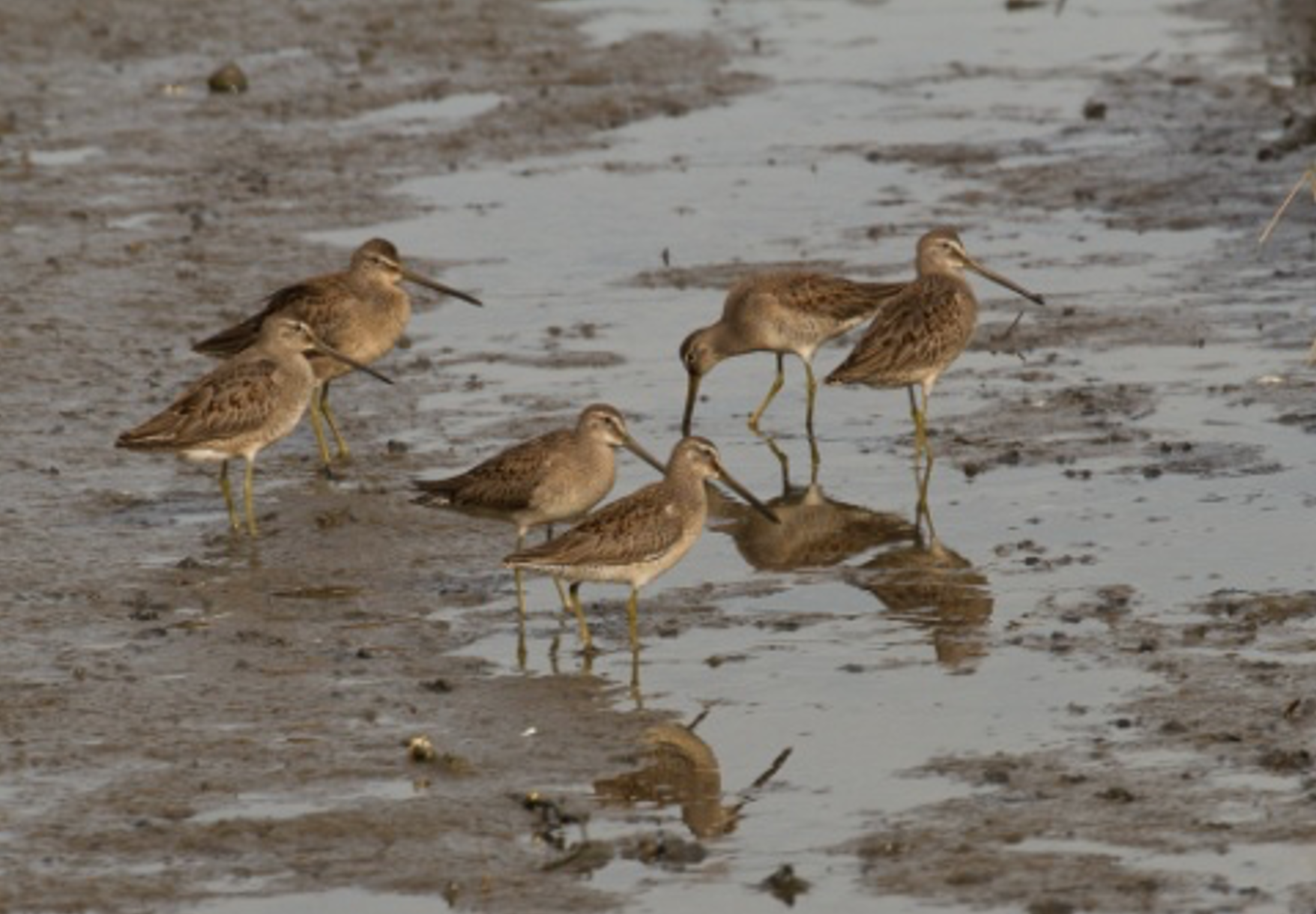
A group of Dowitcher in the Cowichan Estuary mudflats (Photo courtesy of Barry Hetschko)
Before getting into a more detailed description on how the Motus system works let us have a brief look at the rich bird-life of our estuary and also the threats that affect shorebirds in particular, the Western sandpiper being a prime example. I asked Carol Hartwig, one of our members and an avid birder who has lived at the edge of the Cowichan estuary for almost 20 years, to prepare a brief summary on the estuary's birdlife. Thanks, Carol, for taking the time to elaborate the following overview:
"The Cowichan Estuary is a designated "Important Bird Area" (IBA) by Birdlife International through the IBA Program. Historic surveys of bird habitat and bird abundance for Cowichan Estuary found that the estuarine habitat of vegetated areas, mud, shallow water and flooded fields provided habitat for these species groups: dabbling ducks, gulls, diving ducks, swans, shorebirds, herons and grebes (Blood, Comer and Polson 1976).
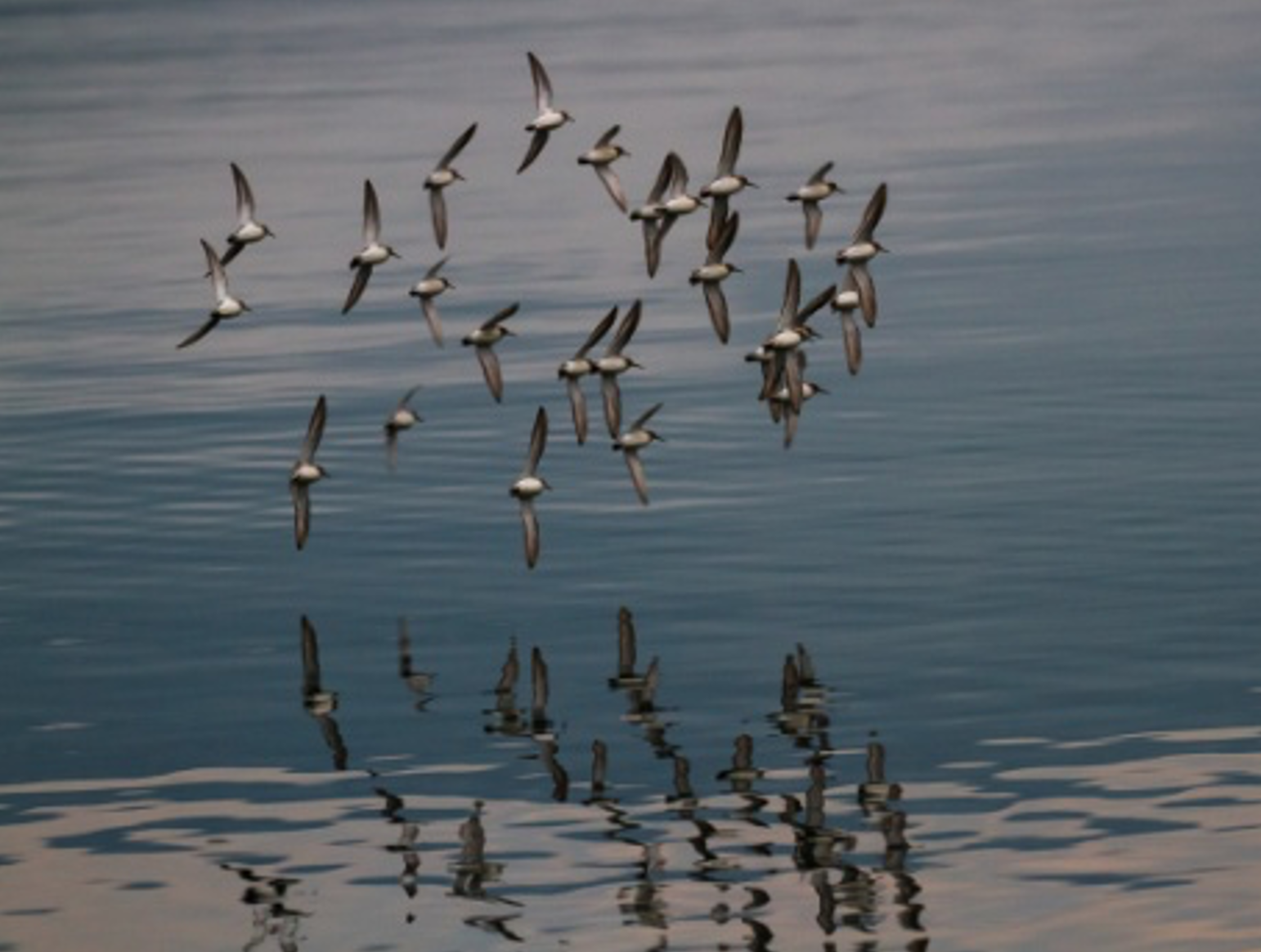
(Photo courtesy of Barry Hetschko)
This has changed, however, and by 1979 many populations of shorebirds significantly declined (Bird Factsheet Cowichan Estuary Preservation Society). Shorebird abundance and a number of other species groups such as Grebes, and some duck species in the Cowichan Estuary today is minimal compared to the past. These findings have been confirmed by recent citizen science surveys (BC Coastal Bird Survey Dec. 2012- Jan. 2014) and surveys and observations by local experts who have made weekly observations for over 40 years (D. Marvin, D. Aldcroft, pers. com.).
Observations of shorebirds such as Western Sandpiper, Least Sandpiper, Dunlin, Semipalmated Plover, Greater Yellowlegs, Pectoral Sandpiper, Short-billed Dowitcher, Long-billed Dowitcher, have become significantly less frequent or nil in many cases. Some of these populations are affected by environmental issues in other areas or continents but many of them are simply unable to find suitable habitats or forage that they did have in the past in Cowichan Estuary. The latter are the species that are targeted by this proposed project along with their forage fish.
The declines of these shorebirds, grebes and some duck species can be connected to some degree (depending on the species and a number of other factors) to habitat loss, degradation, and alteration as a result of years of in-estuary industrial use. Salmon smolts (Chinook, Chum, and Coho) along some of the still un-disturbed sections of shoreline and in the intertidal pools and side channels of the target area, provide prey for such birds as the Blue-listed Great Blue Heron (Ardea Herodias fannini), three species of Merganzer, and other piscivorous birds. The old field habitat of Mariner’s Island provides foraging habitat for Blue-listed species such as Purple Martin (Progne subis), Barn Swallow (Hirundo rustica), and Peregrine Falcon (Falco peregrines pealei), in addition to more common species such as Northern Harrier, and Cooper’s Hawk. Nesting habitat for species that use trees, shrubs, marshes and the ground such as the afore-mentioned species in addition to a plethora of passerines. Gravel and sandy shoreline is also important to provide salmon and birds forage fish such as sand lance, surf smelt, and capelin while eelgrass is important habitat for herring. These shorelines are visited by dabbling ducks that use areas close to the shoreline such as Mallards, American and European Widgeon, and historically American Coot. Spawned-out salmon carcasses provide feed for Buffleheads, two species of Goldeneye, Bald Eagle, Herring Gull, Mew Gull and Glaucous-winged Gull." (Carol Hartwig, March 2021)
More About Motus
The following description of the Motus system is taken from the Motus website ( https://motus.org).
"The Motus Wildlife Tracking System, is an international network of researchers using coordinated automated radio-telemetry arrays to study movements of small flying organisms including birds, bats, and insects, at local, regional, and hemispheric scales. Radio-telemetry has been a cornerstone of tracking studies for over 50 years, and because of current limitations of geographic positioning systems (GPS) and satellite transmitters, has remained the primary means to track movements of small animals with high temporal and spatial precision. Automated receivers, along with recent miniaturization and digital coding of tags, have further improved the utility of radio-telemetry by allowing many individuals to be tracked continuously and simultaneously across broad landscapes. Motus is novel among automated arrays in that collaborators employ a single radio frequency across receiving stations over a broad geographic scale, allowing individuals to be detected at sites maintained by others.
Motus also coordinates, disseminates, and archives detections and associated metadata in a central repository. Combined with the ability to track many individuals simultaneously, Motus has expanded the scope and spatial scale of research questions that can be addressed using radio-telemetry from local to regional and even hemispheric scales. Since its inception in 2012, more than 9000 individuals of over 87 species of birds, bats, and insects have been tracked, resulting in more than 250 million detections. This rich and comprehensive dataset includes detections of individuals during all phases of the annual cycle (breeding, migration, and non-breeding), and at a variety of spatial scales, resulting in novel insights into the movement behavior of small flying animals. The value of the Motus network will grow as spatial coverage of stations and number of partners and collaborators increases. With continued expansion and support, Motus can provide a framework for global collaboration, and a coordinated approach to solving some of the most complex problems in movement biology and ecology."
When tracking wildlife with automated radio telemetry over vast distances, the challenge of deploying enough receivers to get detections grows exponentially. To remedy this, data can be shared between all researchers so that essentially everyone is sharing receivers. Meanwhile receiving stations have already been established all along the Pacific coast from Alaska to Peru, and every year the system is expanding.
The Motus Receiver Station at the Cowichan Estuary
Last week Dr. Scott Flemming, the Canadian Wildlife Service's shorebird specialist, in arrived at Cowichan Bay with three of his colleagues to set up a receiving station jointly with CERCA at the northern shore of the estuary. The most suitable location providing an un-impeded 180 degree view of estuarine mudflats was identified on the property of our members Fiona McLagan and Kenneth Chooi on Gore Langton road. Fiona and Kenneth generously agreed to host the station on their property which has won already great attention as a "green", ecologically friendly place, accommodating their recently built passive house and a solar field which also will provide the power for the receiver station. Setting up this rather complex system took a full day.
The directional antennas of the station are now ready to receive the signals of radio-tagged Western sandpipers (i.e. the target species of this project component) while using the Cowichan estuary as a staging area along their migration flight-way.
(Photo courtesy of Barry Hetschko)
I would like to take this opportunity to thank Fiona and Kenneth on behalf of CERCA and our counterparts from the Canadian Wildlife Service to make this project possible and for providing the power needed to make the station operational --free of charge!
Dr. Goetz Schuerholz
Chair CERCA


