Guided Cowichan Estuary Mudflat Walk
Guided Cowichan Estuary Mudflat Walk
Part 1: Dyke walk leading to the estuary mudflats
On July 25th a group of enthusiastic and adventurous CERCA members met at the Cowichan River Pembury Bridge to participate in the first guided mudflat walk offered to our members. A second group has registered already for the same tour to take place on July 28.
Making use of the low tide on this day which allowed for safe travels across the mudflat all the way to the sub-tidal edge of the estuary, we started our expedition early enough to cover the distance to the spit extending into the estuary from the sawmill property ahead of low tide.
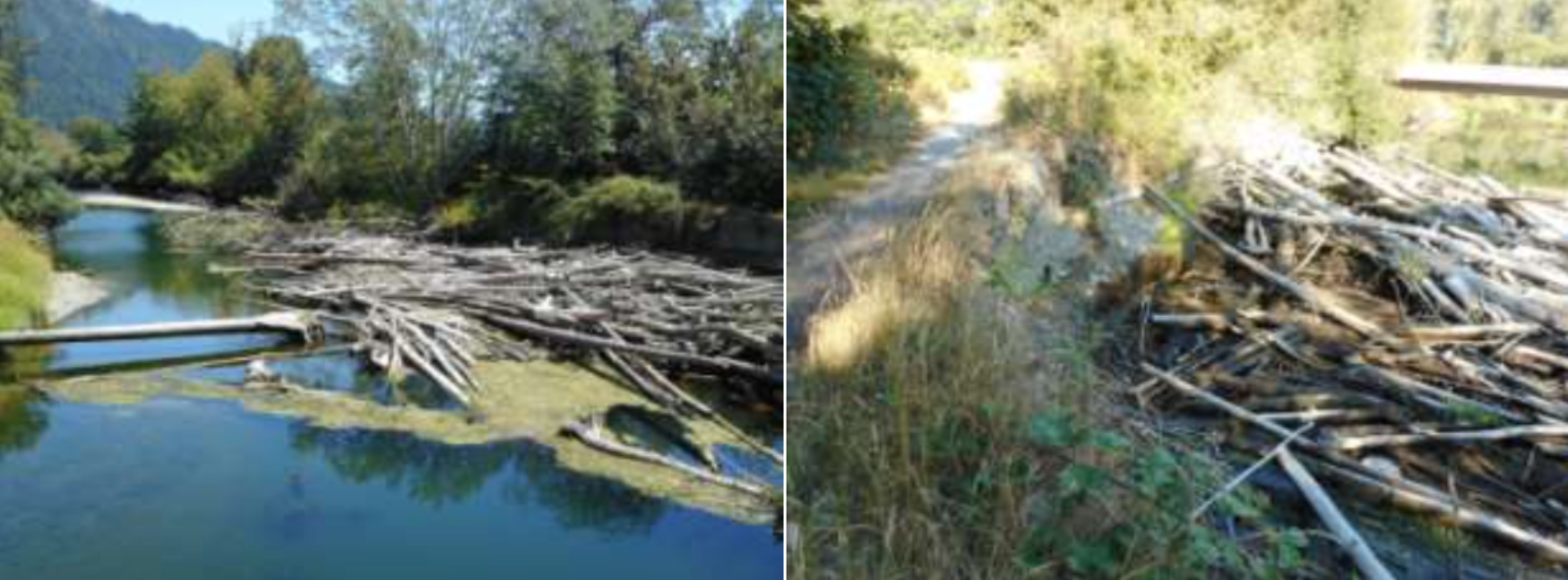
Walking along the dyke constructed by the BC Government in the late 1970s in exchange of 17 acres privately owned but alienated wetland returned to the BC Government, we had our first stop at the trailhead where a major log jam is blocking the river and has washed out part of the dyke.
At this site we discussed the possibility and consequences of the dyke being breached and the farmland flooded if the log jam is not removed prior to the late fall raining season. The dyke was constructed to protect the adjacent farm now owned by Western Forest Products. It is bordered to the north by a well functioning salt marsh rehabilitated by Ducks Unlimited following the land transfer and to the south-west by pastures of WFP's farm.
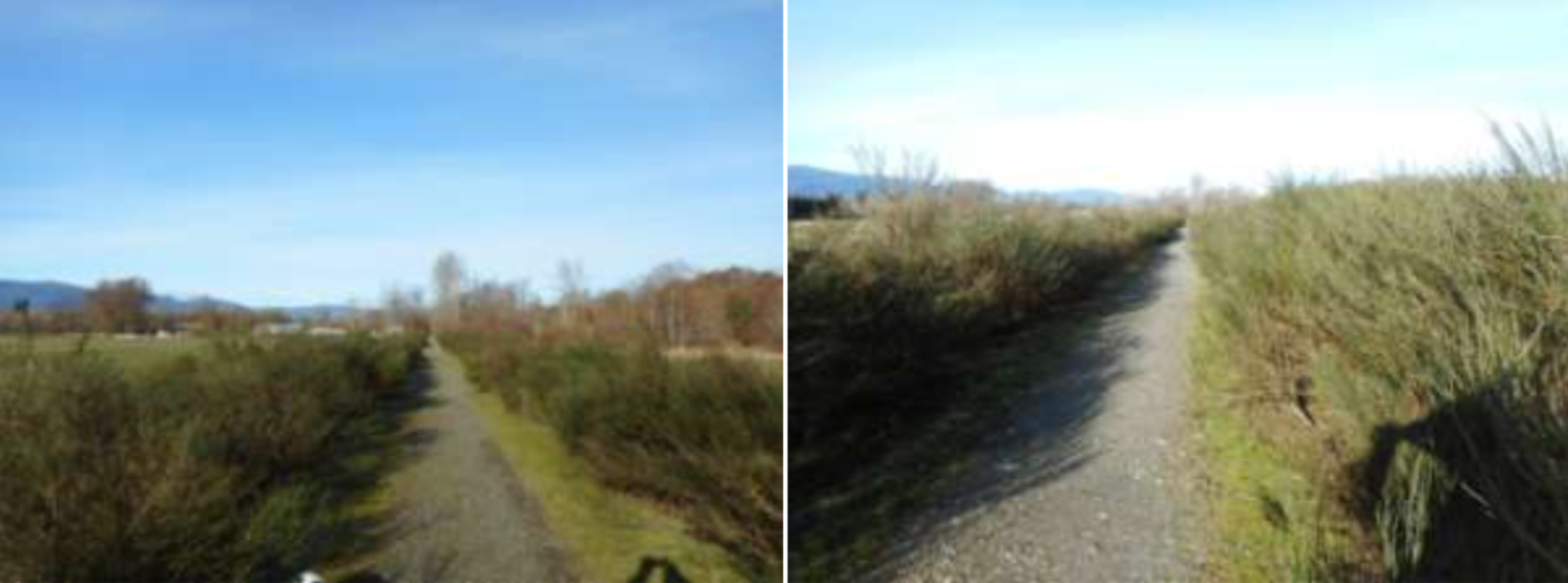
Over the past years the dyke has experienced a growing popularity amongst dog walkers, birders, photographers and other nature lovers using this access to reach a spectacular view point at the end of the spit that extends well into the estuary passed the WFP sawmill. Unfortunately by now the banks of the dyke are completely overgrown by scotch broom which over the years has replaced most of the native vegetation which formerly provided a diverse wildlife habitat.
Part 2: The mud flat experience
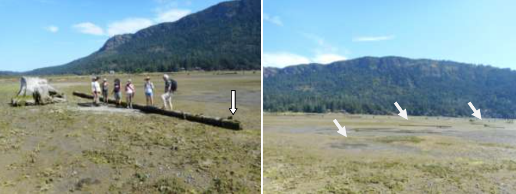
The mudflats serve as an open air classroom. It makes a remarkable difference whether just talking about mud or actually feeling it between your toes; or just talking about effects of grounding out log booms or actually seeing them sitting on the estuary floor squashing everything underneath. It is a unique experience to actually feel, smell, touch and see things instead of reading about them as evidenced by the feedback from our members who took part in this walk.
We crossed and discussed the different habitat types characterizing the inter-tidal zone of the estuary and explained how and why CERCA implemented last year's habitat mapping.
We also stopped at oyster fields and discussed their critical role as ecosystem engineers. It is easy to demonstrate on site why oysters are called a "Keystone" species if you see an oyster covered by barnacles using the oyster shell as a host to attach to; or when turning an oyster over to observe numerous little crabs scuttling in search for cover; or being squirted by bivalves buried in the mud! We also discussed the remarkable ability of plants and creatures to adapt to different habitat types, a process which has taken thousands of years of evolutionary development. Or investigating the reason for the long and curved beaks of shorebirds and waders who need these tools to find worms and other prey in the mud and water. Or tasting the stem of salty pickle weed growing on gravel bars in the mudflats, well adapted to the high salinity content of the substrate it grows on.
Oysters play a Key role for carbon sequestration. Science has shown that 12% of oyster shells constitute carbon. CERCA's last year oyster project of the estuary revealed that a conservative estimate of 2.5 metric tons of carbon are currently stored by oysters in the estuary. Oysters are also known as very effective water purifiers. As efficient filter feeders one mature oyster (maturity reached within one year!) may filter more than 25 gallons of water per day, absorbing biotoxins and heavy metals in the process apart from phytoplankton which constitutes its major food source.
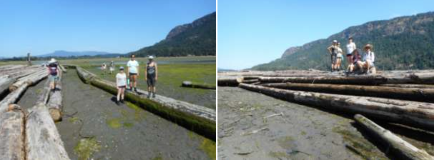
We also saw single logs resting on the mudflats only to become mobile again and being swished around by high tides until eventually being washed onto salt marshes where they cause a lot of damage squashing seed pods of sedges and rushes that are an essential food source for over-wintering birds.
We discussed the effects of grounding out log booms on the "biofilm" of mudflats. The so called "biofilm" covering the top 3-5 cm of mudflats contains and supports most of the live organisms found within this habitat. The biofilm is characterized by mono cellular green algae which grow when exposed to sun light at low tide absorbing carbon-dioxide from the air converting it into nutrients and carbon. The carbon of dead algae is sequestered by the mud or used by shellfish as building material for their shells. The oxygen from the broken down carbon-dioxide is released back into the air for us to breathe. It is like a miracle happening to observe the greening up of the mudflats at low tide caused by the rapid growth of the green algae which provide the food for numerous mud dwellers, including all filter feeders such as oysters and other shellfish.
Log booms stored and moved around in the inter-tidal zones of estuaries are believed to be the prime reason for the disappearance of eelgrass in the Cowichan estuary and many others along Vancouver Island which all have experienced the same detrimental impacts reported from Cowichan Bay.
Unfortunately the prime eelgrass habitat in estuaries happens to coincide with historically main log storage areas. This habitat is found at he so called "ecotone" or area where the inter-tidal and sub-tidal ecosystems meet. It is not only the scarring of substrate by log booms when being moved about, but also the bark and loose logs buried in the substrate releasing toxic substances which adversely affect live organisms. Grounding out log booms, a daily occurrence at low tide in the Cowichan estuary, are of special concern. Not only do they compact the substrate and squashing millions of micro-organisms in the process but also prevent sunlight to reach the substrate preventing green algae to grow. All areas covered by log booms are therefore out of the equation for primary production.
The dolphins at the edge of the inter-tidal zone mark the drop off to deep water. They have been used for more than a century to tie up log booms stored in Cowichan Bay. The area enclosed by the blue line on the right photo constitutes prime eelgrass habitat of the Cowichan Estuary which now has disappeared entirely to the north of the causeway and terminal which has cut the estuary in half since its early construction in the 1920s.
In summary, the educational estuary walks offered by CERCA provide a great opportunity to teach and learn about the ecological, socio-economic and cultural importance of estuaries in general and the Cowichan-Koksilah Estuary in particular. The Cowichan Estuary has provided First Nation people with staple food for centuries. Shellfish which had been an important part of their diet are still closed to harvest (since the 1970s) due to man caused contamination. It is hoped that CERCA's activities in the estuary can and will contribute to its restoration and rehabilitation of shellfish to be harvested and to be the nursery it once was.
Dr. Goetz Schuerholz who guided the group
